
Visualizing Success: Incorporating Pictures to Routes with SDT340
Setting up routes using SDT UAS3 software with the SDT340 includes a feature that greatly adds to the efficiency of the measurement taking process.
Some routes can have dozens or even hundreds of measurement points. By adding pictures to the measurement data in the UAS3 software it allows the user to specify the locations where data will be collected. When the route is uploaded to the SDT340, the pictures can be displayed on the screen while taking data. With the picture feature, technicians can visually confirm each measurement point, providing a clear reference.
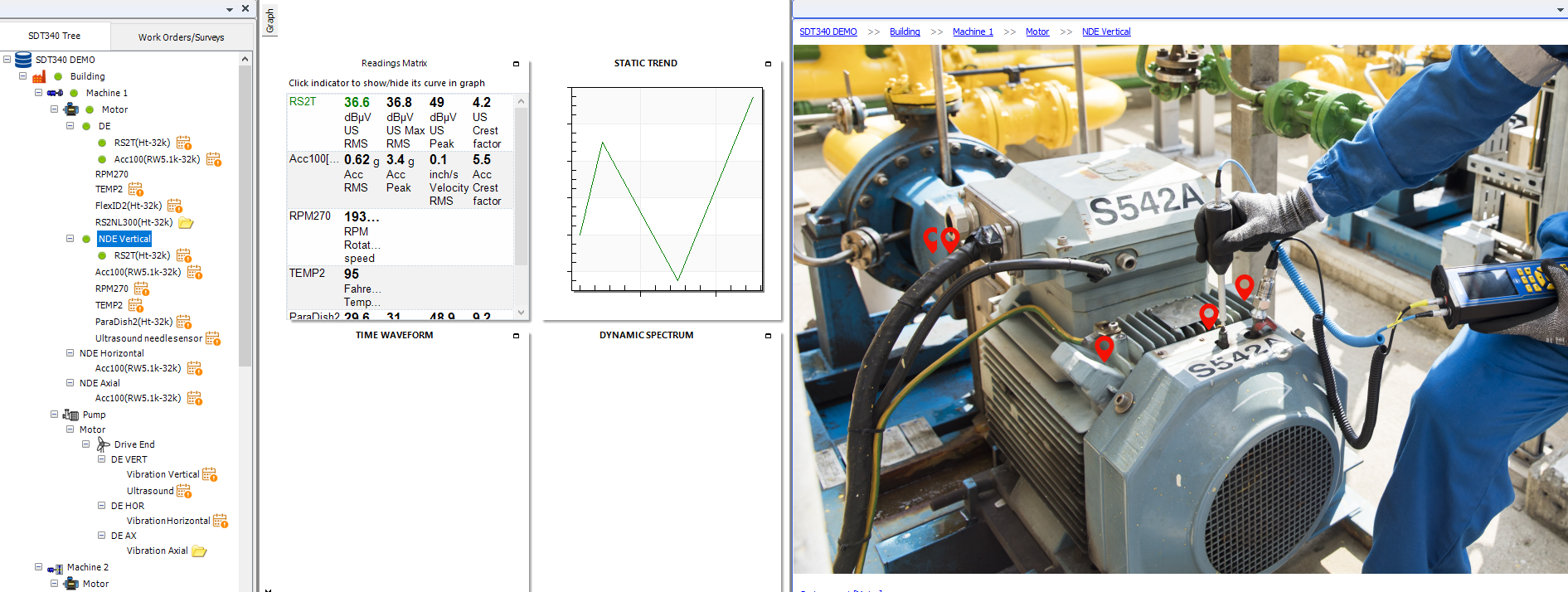
Pictures can be added to measurement points in the UAS3 tree structure. Then when sensors are added to the measurement point, an icon will be displayed on the picture representing that sensor. The sensor icon can then be moved around in the picture to represent the exact location on the machine that the sensor should be mounted to record data.
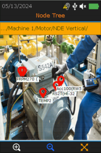
The route is then uploaded to the SDT340. When the technician brings up a measurement point, the pictures can be viewed by pressing F1, helping the technician to verify where the data should be collected.
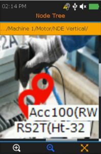
The picture can then be zoomed in with F1, out with F2 and scrolled with the navigation arrows as needed.